-40%
History of Oil Drilling, Prints, Antique Oil Well Drilling Tools, Petroliana
$ 1584
- Description
- Size Guide
Description
Here we have the history of oil well drilling in Pennsylvania.Original Antique Prints,
Digital copies, without watermarks,
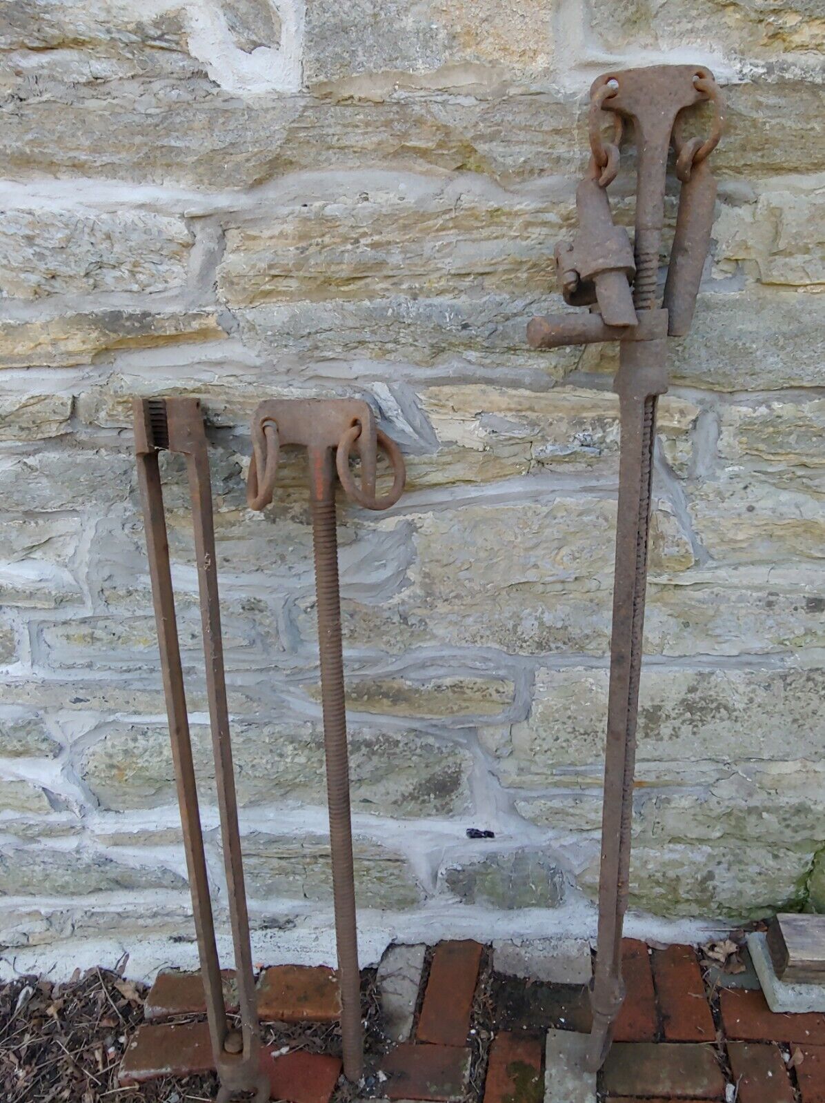
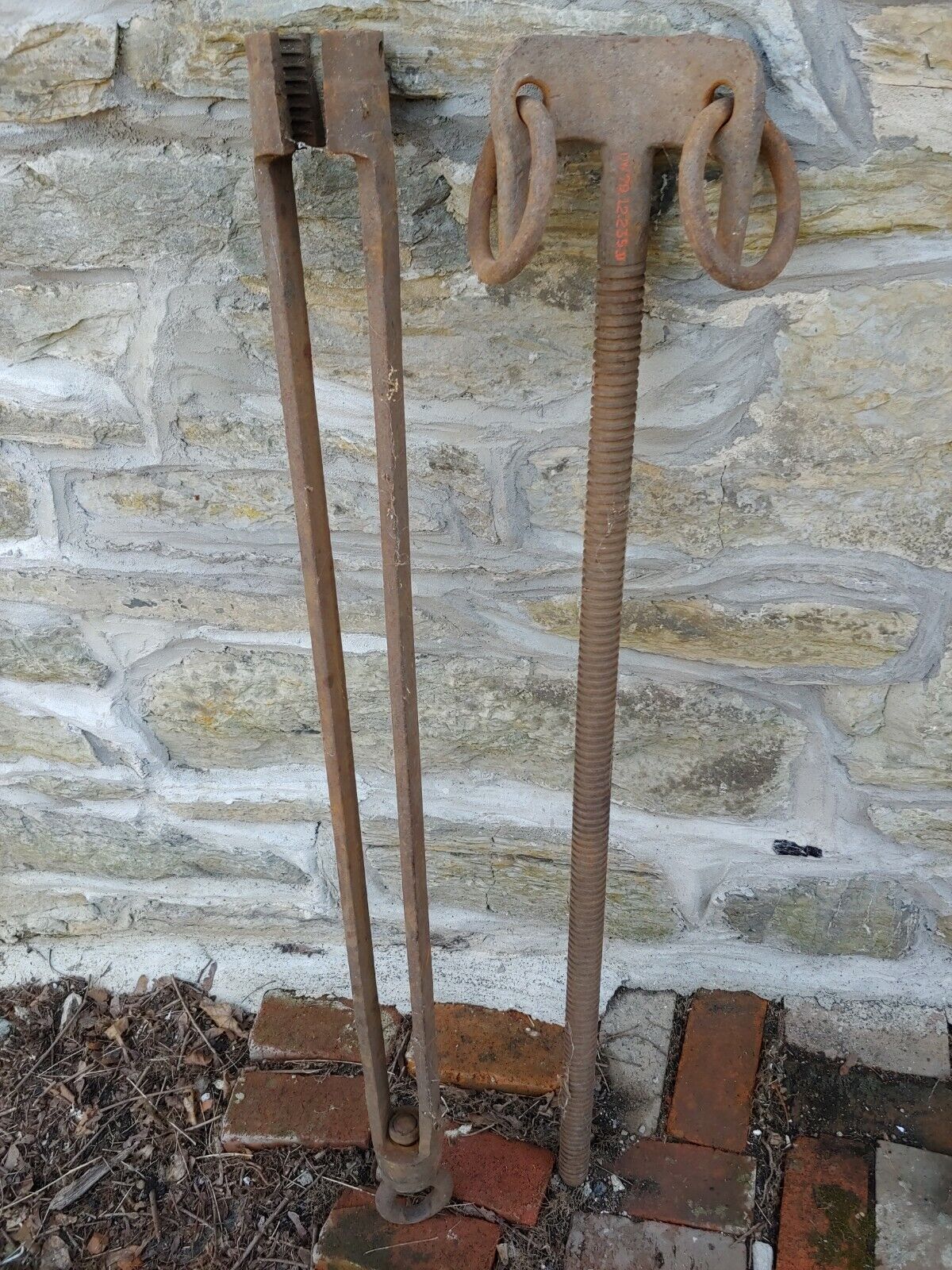
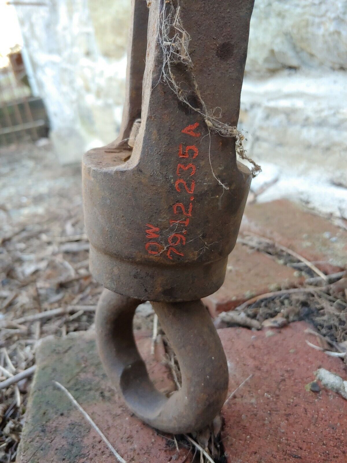
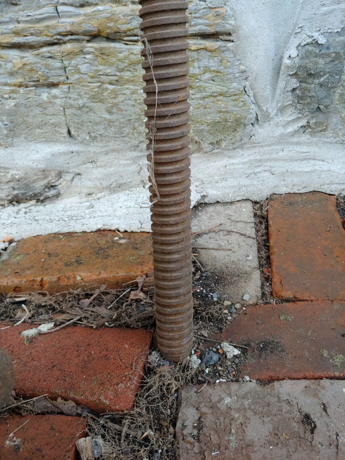
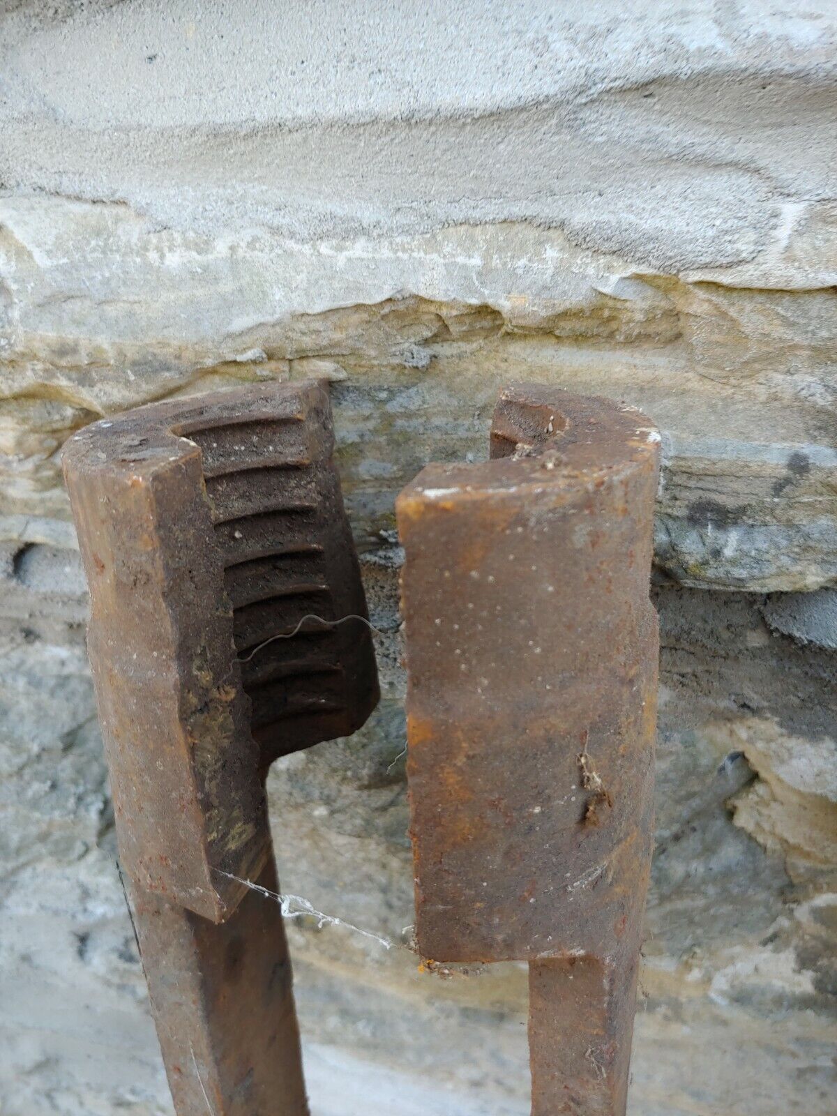
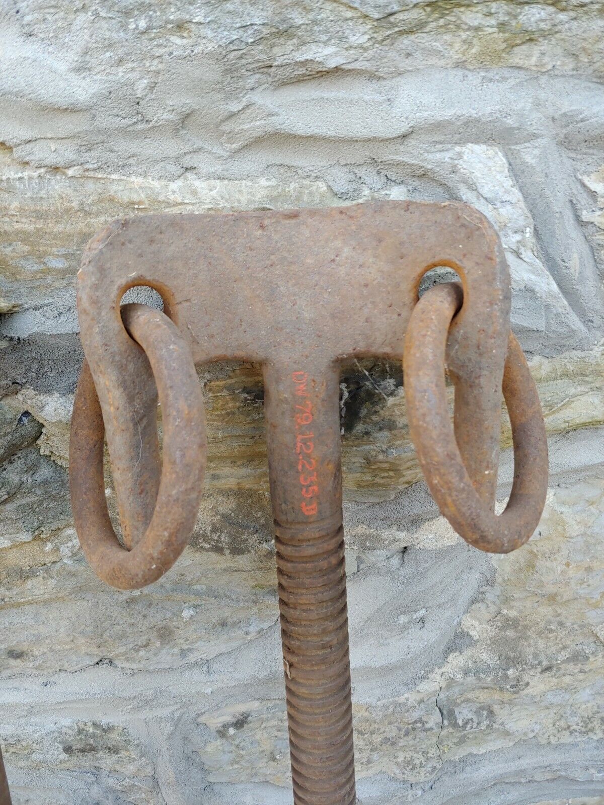
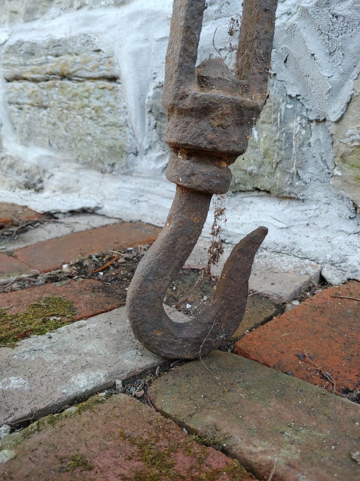
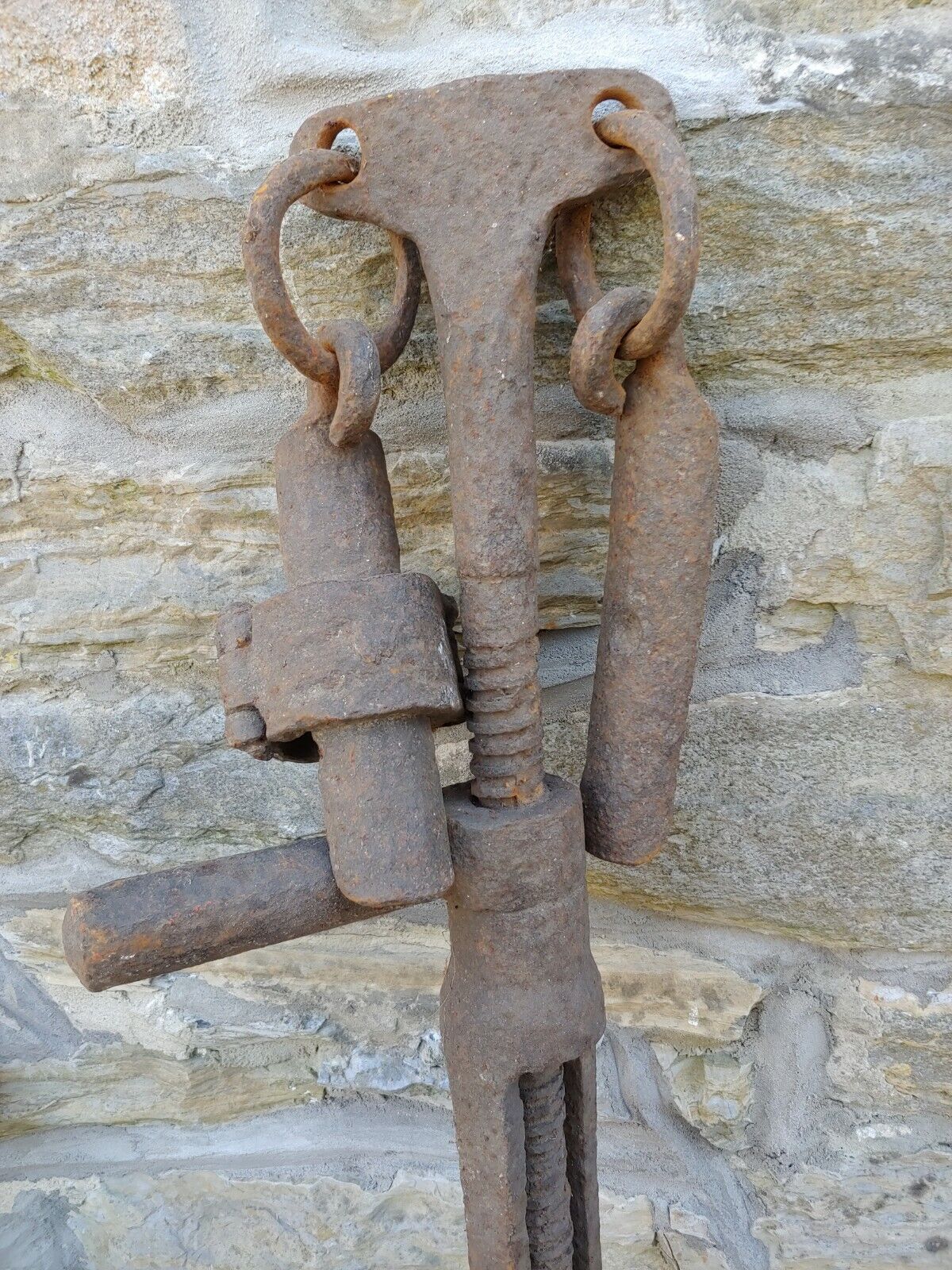
Antique Oil Well Drilling Tools.
For your petroliana collection.
Own the very beginnings of Oil Well Drilling!! A peice of rare history.
Note: more prints are included than what is pictured!
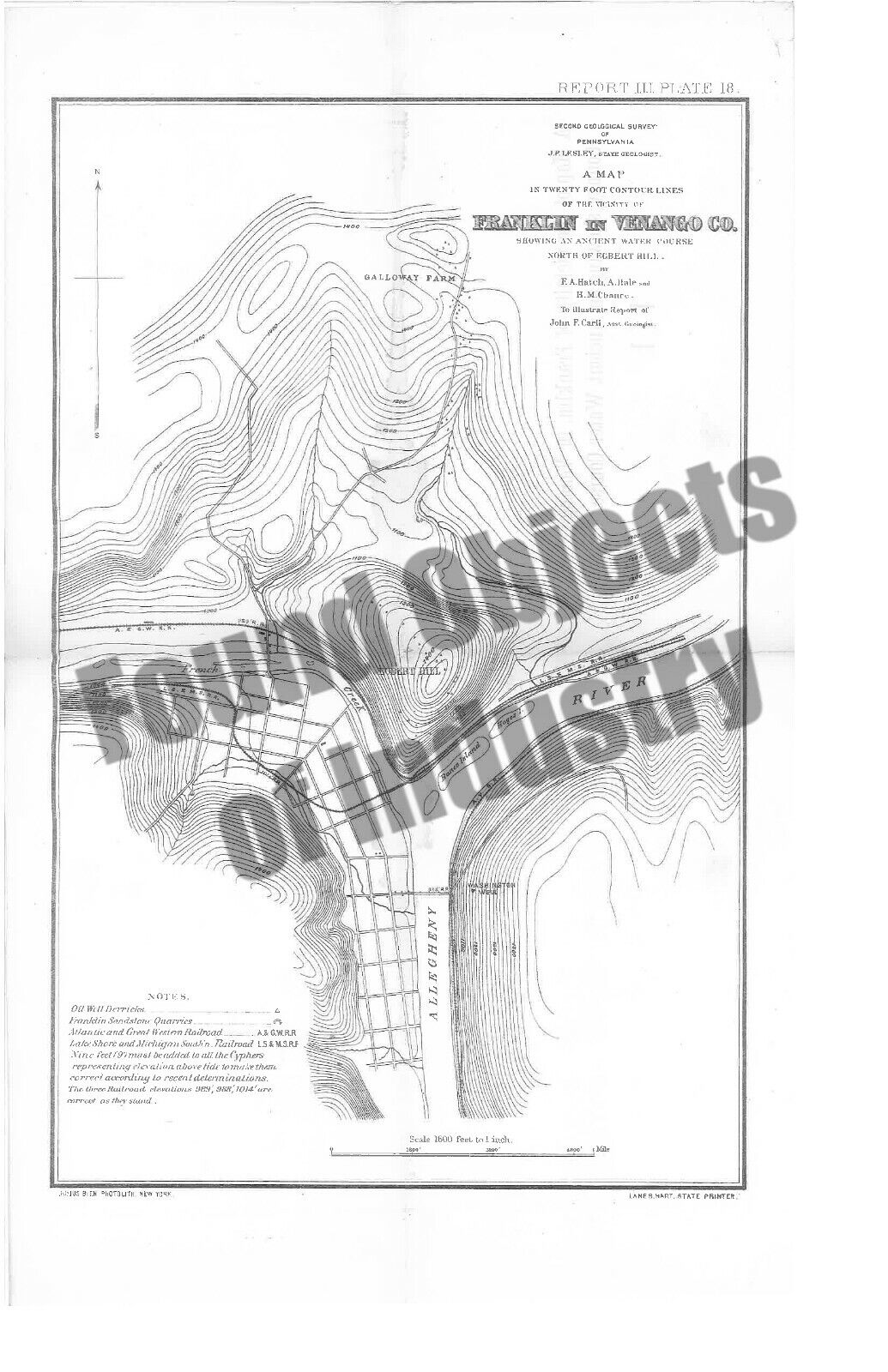
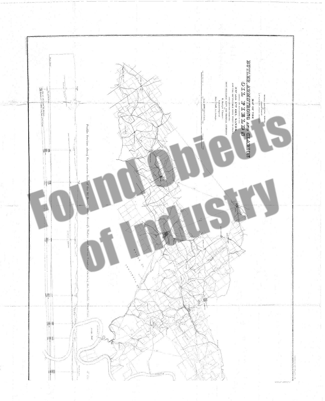
A lot of these prints were during the time of Joseph Peter Lesley. He was an American geologist. He was born in 1819. He became the State geologist of Pennsylvania in 1874. It is around this time that these prints were made. Part of the second geological survey of Pennsylvania. Estimated done between 1874 and 1879. Other people involved include John F Carll Asst. Geologist and drawn by H Martyn Chance.
List of prints is as Follows:
1. Map of North Western Pennsylvania, showing the outline of the Summit water basins.
2. Generalized vertical section from the top of the Upper Barren Coal Measures down to the Conniferouse Limestone.
3. Land Profiles from Warren County, Crawford County, Pennsylvania.
4. A map in 20 foot contour lines of the vicinity of Franklin in Venango co.
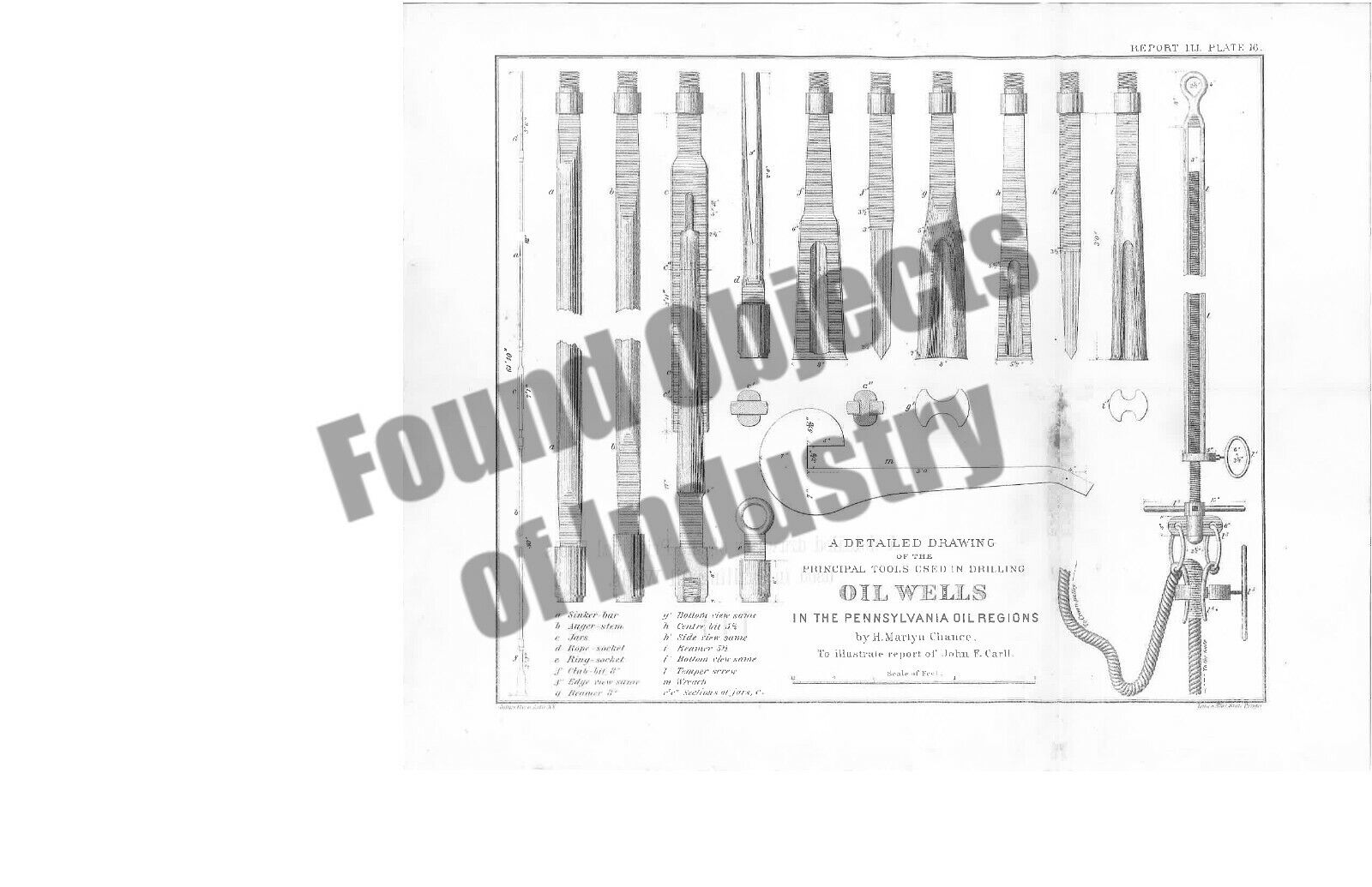
5. A detailed drawing of the principal tools used in drilling oil wells in the Pennsylvania oil regions.
6. Groups of Oil Well sections showing the geological structure from St Joe, Donegal Twp Butler Co. to Tarentum, Allegheny Co. and from Petrolia, Fairview Twp, Butler Co. to Cherry Run, Toby Twp, Clarion Co.
7. Group of oil well sections showing the geological structure from Oil City and Franklin, Venango County to Clarion County.
8. Group of Oil Well sections showing geological structure from Pittsburgh to Bylson Run.
9. Sectional drawings of three oil wells showing successive variations in style of drill-hole, drive-pipe, seed bag, tubing and casing.
10. Geological Map of Venango County.
11. Geological Sections of multiple oil wells.
12. Mechanical drawing of cross sections of oil wells.
13. Map of the Butler, Armstrong, and Clarion Oil Fields.
14. Groups of Oil Wells showing the geological structure.
15. Topographical map of Titusville and Pleasantville.
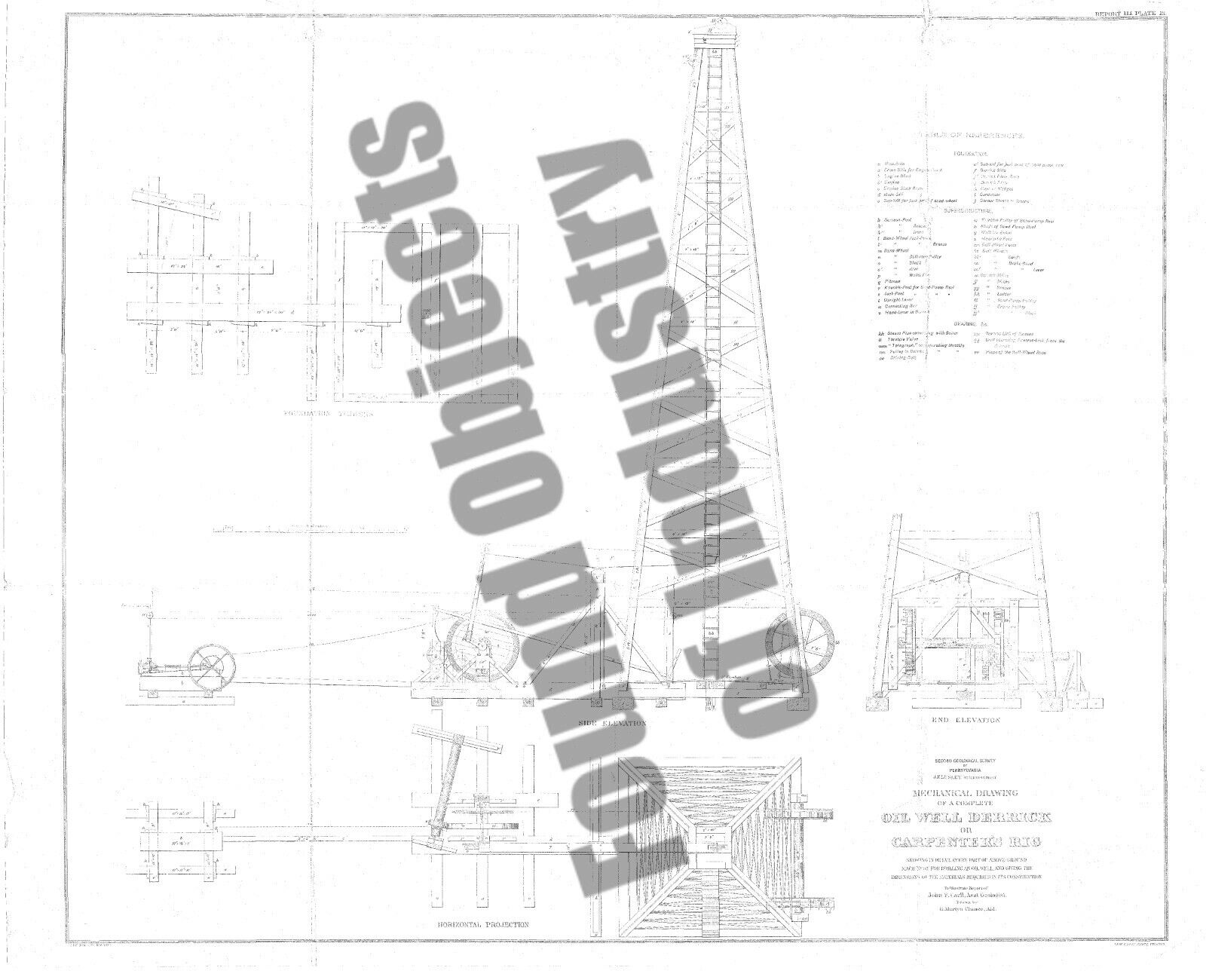
16. Mechanical Drawing of a complete Oil Well Derrick or Carpenter's Rig showing details of parts and giving dimensions of the materials required for construction.
17. Generalized Geological Section from Black Rock New York to Dunkard Creek Pennsylvania, showing the various oil horizons of Pennsylvania, New York and Canada, and their relative positions in the Palaeozoic System.
You will receive the oil well drilling tools as pictured, a digital copy of the 17 prints without watermarks on a USB drive, the 17 original prints on paper.
Listed as local pickup only.
Shipping is not free.
Willing to ship at the buyer's expense.
This rare collection is made available to you by Found Objects of Industry, near Hamburg Pennsylvania!
Thank you.
